-
Wielka Brytania
- więcej o kraju
- Afganistan
- Albania
- Algieria
- Andora
- Angola
- Anguilla
- Antigua i Barbuda
- Antyle Holenderskie
- Arabia Saudyjska
- Argentyna
- Armenia
- Aruba
- Australia
- Austria
- Azerbejdżan
- Bahrajn
- Bangladesz
- Barbados
- Belgia
- Belize
- Benin
- Bermudy
- Bhutan
- Białoruś
- Boliwia
- Botswana
- Bośnia i Hercegowina
- Brazylia
- Brunei Darussalam
- Burkina Faso
- Burundi
- Bułgaria
- Chile
- Chiny
- Chorwacja
- Cote d `voire
- Cypr
- Czad
- Czarnogóra
- Czechy
- Dania
- Demokratyczna Republika Konga
- Dominika
- Dominikana
- Dżibuti
- Egipt
- Ekwador
- Erytrea
- Estonia
- Etiopia
- Falklandy (Malwiny)
- Fidżi
- Filipiny
- Finlandia
- Francja
- Gabon
- Gambia
- Ghana
- Gibraltar
- Grecja
- Grenada
- Grenlandia
- Gruzja
- Guam
- Guernsey
- Gujana
- Gujana Francuska
- Gwadelupa
- Gwatemala
- Gwinea
- Gwinea Bissau
- Gwinea Równikowa
- Haiti
- Hiszpania
- Holandia (Niderlandy)
- Honduras
- Hongkong
- Indie
- Indonezja
- Irak
- Iran
- Irlandia
- Islandia
- Izrael
- Jamajka
- Japonia
- Jemen
- Jersey
- Jordania
- Kajmany
- Kambodża
- Kamerun
- Kanada
- Katar
- Kazachstan
- Kenia
- Kirgistan
- Kiribati
- Kolumbia
- Korea Południowa
- Korea Północna
- Kostaryka
- Kuba
- Kuwejt
- Laos
- Lesotho
- Liban
- Liberia
- Libia
- Liechtenstein
- Litwa
- Luksemburg
- Macedonia, Była Jugosłowiańska Republika
- Madagaskar
- Majotta
- Makau
- Malawi
- Malediwy
- Malezja
- Mali
- Malta
- Mariany Północne
- Maroko
- Martynika
- Mauretania
- Mauritius
- Meksyk
- Mikronezja, Sfederowane Stany Mikronezji
- Monako
- Mongolia
- Montserrat
- Mozambik
- Mołdawia
- Myanmar
- Namibia
- Nauru
- Nepal
- Niemcy
- Niger
- Nigeria
- Nikaragua
- Niue
- Norwegia
- Nowa Kaledonia
- Nowa Zelandia
- Oman
- Pakistan
- Palau
- Panama
- Papua-Nowa Gwinea
- Paragwaj
- Peru
- Polinezja Francuska
- Polska
- Portoryko
- Portugalia
- Republika Konga
- Republika Południowej Afryki
- Republika Środkowoafrykańska
- Reunion
- Rosja
- Rumunia
- Rwanda
- Sahara Zachodnia
- Saint Kitts i Nevis
- Saint Lucia
- Saint Vincent i Grenadyny
- Saint-Pierre i Miquelon
- Salwador
- Samoa
- Samoa Amerykańskie
- San Marino
- Senegal
- Serbia
- Seszele
- Sierra Leone
- Singapur
- Somalia
- Sri Lanka
- Stany Zjednoczone (USA)
- Suazi
- Sudan
- Surinam
- Svalbard
- Syria
- Szwajcaria
- Szwecja
- Słowacja
- Słowenia
- Tadżykistan
- Tajlandia
- Tajwan
- Tanzania
- Timor Wschodni
- Togo
- Tokelau
- Tonga
- Trynidad i Tobago
- Tunezja
- Turcja
- Turkmenistan
- Turks i Caicos
- Tuvalu
- Uganda
- Ukraina
- Urugwaj
- Uzbekistan
- Vanuatu
- Wallis i Futuna
- Wenezuela
- Wielka Brytania
- Wietnam
- Wyspy Bahama
- Wyspy Bożego Narodzenia
- Wyspy Cooka
- Wyspy Dziewicze (USA)
- Wyspy Kokosowe (Keeling)
- Wyspy Komorów
- Wyspy Marshalla
- Wyspy Norfolk
- Wyspy Owcze
- Wyspy Pitcairn
- Wyspy Salomona
- Wyspy Zielonego Przylądka
- Wyspy Świętego Tomasza i Książęca
- Wyspy Świętej Heleny
- Węgry
- Włochy
- Zambia
- Zimbabwe
- Zjednoczone Emiraty Arabskie
- Łotwa
-
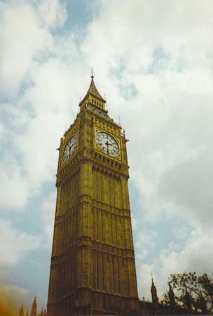
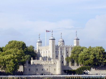
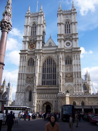
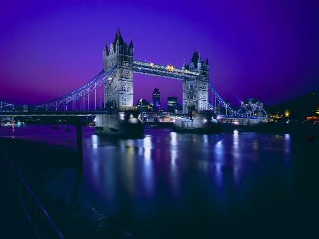
Londyn
- więcej o mieście
- Aberdeen
- Bardon Mill, Hexham
- Bath
- Belfast
- Birmingham
- Bolton
- Bradford
- Bridgend
- Brighton
- Bristol
- Bury St Edmunds
- Cheltenham
- Chipping Sodbury
- Colchester
- Coventry
- Crieff
- Derby
- Dover Kent
- Edynburg
- Glasgow
- Inverness
- Keswick, Cumbria
- Keynsham
- Leeds
- Leicester
- Liverpool
- Londyn
- Maesteg - Walia
- Manchester
- Milton Keynes
- Nailsworth
- Nottingham
- Plymouth
- Porthcawl - Walia
- Sandwell
- Shaftesbury
- Sheffield
- Sunderland
- Tunbridge Wells
- Weston-super-Mare
- York
- Kontakt